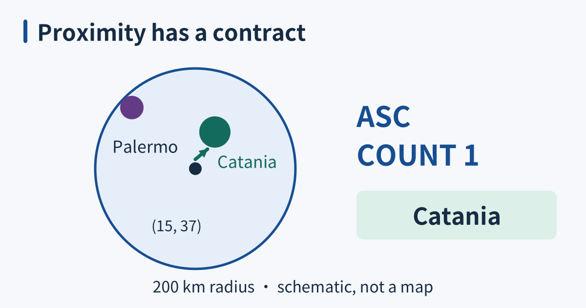
Redis geo handles locations by distance
Redis geospatial commands index named locations and answer nearby-point queries without returning every coordinate to the application. They are useful when spherical distance is an acceptable model. They do not provide road routes, altitude-aware separation, arbitrary polygon analysis, or a guarantee that every returned location is still current. ...